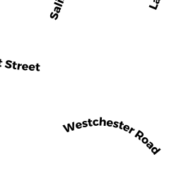
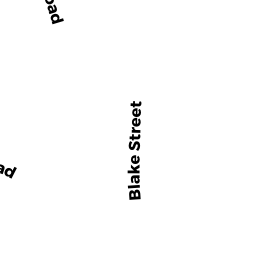
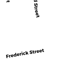
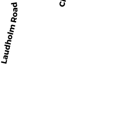
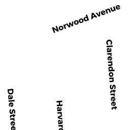
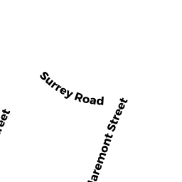
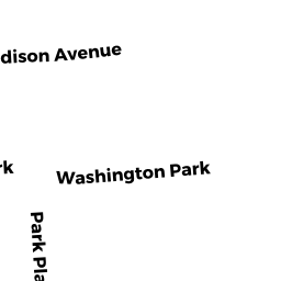
50-52 WESTCHESTER RD
Owner Information
FAIRCASTLE LLC
321 WALNUT ST 432
NEWTON, MA 02460


Property Details
50-52 WESTCHESTER RD is classified as a Two-Family Residential (Two family).
The primary structure on this property was built in 1927. There are 3,968ft2 of built area within this property. There is 2,392ft2 of residential/living space within this property. This property is listed as having 11 rooms.
50-52 WESTCHESTER RD is valued at $987,900. The land is valued at $677,100 and the structures are valued at $310,800.
This property is in Zone MR1. Confirm with local Zoning Board authorities to ensure there are no overlays or other easements on this property.
The most recent deed for 50-52 WESTCHESTER RD is recorded at the local registrar in Book 68595, Page 460. 50-52 WESTCHESTER RD was last sold on Thursday, December 15, 2016 for $1.
Assessment data from fiscal year 2022.
Flood Data
According to the FEMA National Flood Hazard Layer, this property does not appear to be in a flood zone. It may also be in an area not yet reviewed. Nonetheless, confirm this information prior to taking any action.
To view the flood hazards around this property, create a FEMA "Firmette" Map of the area around 50-52 WESTCHESTER RD.
Broadband Internet Providers
| Provider | Type | Bandwidth (mbps) | |
|---|---|---|---|
| Viasat Inc | Satellite | 100 | 3 |
| Comcast | Cable | 1000 | 35 |
| VSAT Systems, LLC. | Satellite | 2 | 1 |
| HughesNet | Satellite | 25 | 3 |
| GCI Communication Corp. | Satellite | 0 | 0 |
| RCN | Cable | 500 | 20 |
| Verizon New England Inc. | Fiber | 940 | 880 |
| Verizon New England Inc. | DSL | 7 | 0 |
Broadband service provider data from December 2020.
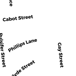
Adjacent Properties
- 56-58 WESTCHESTER RD
Two-Family Residential owned by FARINA PHYLLIS TR - 46-48 WESTCHESTER RD
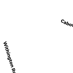
Two-Family Residential owned by THEA KATHY - 172-174 CABOT ST #172
Residential Condominium owned by BARROWS KATHRYN - 172-174 CABOT ST #174
Residential Condominium owned by BARROWS TIMOTHY M & RUTH - 172-174 CABOT ST
Other, Open Space owned by 172-174 CABOT ST MASTER DEED - 166-168 CABOT ST
Two-Family Residential owned by LEE SUSAN